VANCOUVER — All evacuation orders related to wildfires in northeastern British Columbia have now been lifted or downgraded to evacuation alerts as heavy rain eases the fire danger.
The Peace River Regional District has cancelled orders issued last week affecting properties threatened by the Stoddart Creek fire northeast of Fort St. John.
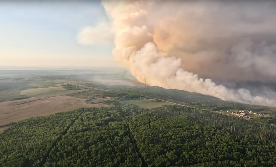
Officials made the announcement Monday evening, as they also lifted an evacuation order covering properties around the estimated 1,300-square-kilometre Donnie Creek fire southeast of Fort Nelson.
The provincial wildfire service lists the Stoddart Creek fire as "held," meaning it's not likely to spread beyond its predetermined boundaries under the current conditions.
Evacuation alerts still cover more than 500 properties in northeastern B.C., but rainfall warnings are now posted for a large part of that region and Environment Canada says up to 100 millimetres is expected to fall before the system eases.
The River Forecast Centre has posted flood watches for much of east-central B.C., from the Peace River area to the Kootenay, Boundary and Okanagan areas.
It says extremely warm conditions over the last week have speeded snowmelt, swelling rivers and leaving them vulnerable to added rainfall and the potential for flooding or debris flows.
This report by The Canadian Press was first published May 23, 2023.
The Canadian Press
Note to readers: This is a corrected story. A previous version described the Donnie Creek fire as being an estimated 13,000 square kilometres in size. In fact, it is an estimated 1,300 square kilometres.


