Wildfire-related backcountry road closures last summer will remain in place for this fire season.
The provincial government says the roads closed in October 2021 in the Thompson-Okanagan at the site of 15 severe wildfires remains closed.
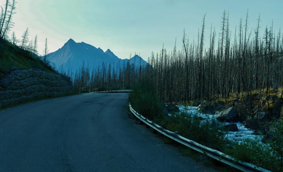
The closures were established under the Motor Vehicle Prohibition Regulation of the Wildlife Act and apply to backcountry roads across approximately 536,000 hectares. The roads were closed to allow areas to recover from wildfire impacts including:
- erosion of charred soils and impacts on fish habitat;
- increased vulnerability of wildlife due to migration disruptions, habitat loss and loss of vegetation cover; and
- increased open areas due to construction of approximately 2,900 kilometres of fire guards.
The closure boundaries follow landmarks like roads, rivers and streams near wildfire perimeters. Maps of the closure areas are here.
“Some thoroughfares remain open, and the closures do not impact residents or access for commercial activities,” according to the province. The closures will remain in place during Ministry of Forests recovery efforts."
The affected areas are:
- Sparks Lake
- Momich Lake
- Tremont Creek
- Two Mile Road
- Bunting Road
- Hunakwa/Crazy Creek complex
- Thomas Creek
- Nk'Mip
- July Mountain
- White Rock Lake
- Garrison Lake
- Mckay Creek
- Mowhokam Creek
- Lytton complex
Users may apply to access certain closed roads within these areas on an individual basis.


