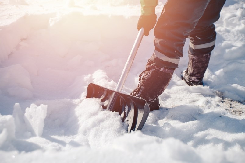
Burnaby – or just some parts of it – are likely in for snow this weekend.
That’s according to the Weather Network and Environment Canada, which both forecast a chance of rain showers or flurries Sunday, Jan. 24, for the Metro Vancouver area.
Up to 10 centimetres of precipitation is expected to fall all the way down to sea level going into Monday, Jan. 25.
The higher-elevation areas of Burnaby, including Capitol Hill and Burnaby Mountain, will most likely see snow.
The cold weather system is the result of a northwesterly flow tapping into moisture from the Gulf of Alaska, notes the Meteorological Service of Canada forecast.
While there is a good consensus among models for the overall pattern this weekend, “there is still disagreement between models," including "how much moisture will come through and how close to sea level we may see snow.”
Leading into the weekend, a relatively dry shortwave trough of low pressure is expected to develop over the south coast and Vancouver Island by Thursday morning, Jan. 21. Burnaby is expected to experience clear skies until Sunday, when the chance of flurries arrives, with temperatures hovering between -2 and 5 Celsius.
- With files from Stefan Labbe, Glacier Media

