Burnaby is expected to get hit with more snow this evening.
In a snowfall warning, Environment Canada says "heavy snow" is expected to fall across the region beginning this evening (Dec. 29), with five to 10 centimetres expected to accumulate.
"A storm system will move across the south coast of B.C. tonight. With ample cold air in place, this system will result in widespread snow beginning this evening and tapering off Thursday morning," the weather warning states.
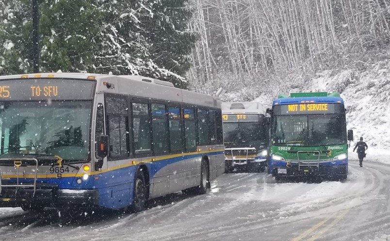
Higher elevations in Burnaby are likely to be hit heavier than others. This includes Capitol Hill, Metrotown and Burnaby Mountain. TransLink is preparing its buses to deal with such tricky Burnaby hills as Gaglardi Way, Cariboo and Willingdon.
Currently, five to 10 centimetres of snow is likely, according to Environment Canada. Most regions will see around five centimetres of snow "accumulate rapidly within three to six hours" overnight when heavier snow is in the forecast.
The weather agency said the snow may impact visibility and make travel difficult.
Meanwhile, the arctic outflow warning remains in effect this morning, with wind chill values near or below -20C.
However, the cold wind chill will moderate during the day as temperatures increase and winds ease, according to Environment Canada.
Environment Canada warns anyone not dressed warmly is at risk of frostbite and hypothermia, which can occur within minutes if adequate precautions are not taken when outdoors.
- With files from the Richmond News


