Is Burnaby about to see another snowmageddon this week?
Well, perhaps a mini-one is in the works as temperatures plummet.
While the Metro Vancouver weather forecast includes a couple of days of sunshine heading out of the weekend, temperatures are expected to drop as a precipitation system moves into the region.
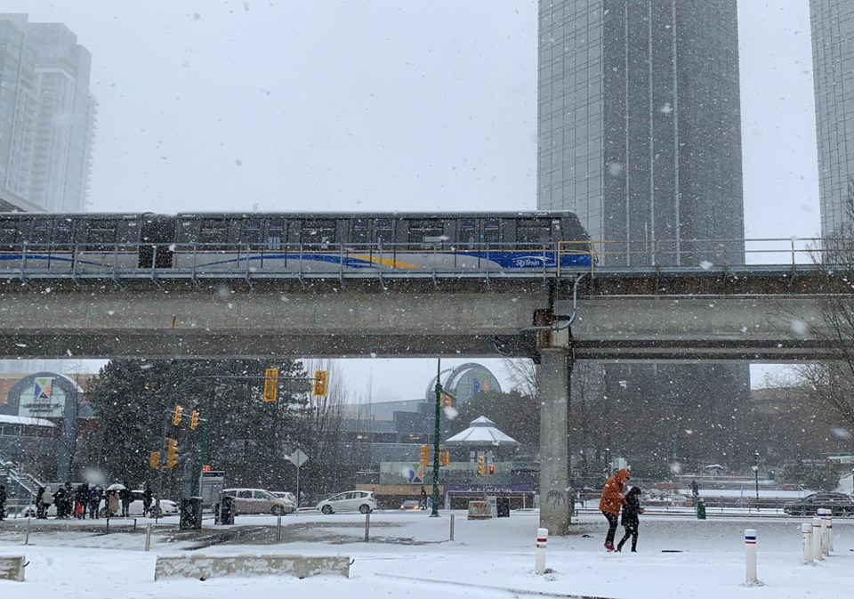
And for higher elevations in Burnaby, such as Capitol Hill, Burnaby Mountain and even the Metrotown area, that could mean icy and snowy conditions. The last snowfall saw major delays in Burnaby transit routes.
"Snow is in the forecast for Wednesday and we could see 2-5 cm of accumulation before it changes to rain," the City of Burnaby said in a tweet. "Our crews have prepped the roadways in advance and are ready to respond when the snow starts to stick."
On Wednesday, the Environment Canada forecast includes the chance of rain or snow during the day and overnight, with a high of 3°C and a low of 2°C. Thursday's forecast also includes the chance for some wet weather, although temperatures are expected to be milder.
Friday's is forecasted to be rainy during the day with a chance of showers at night. Saturday is expected to be cloudy and dry, however.
Environment Canada meteorologist Doug Lundquist told Glacier Media in a previous interview that Metro Vancouver typically only sees one period of truly cold winter and that there are usually only one to three arctic air events per year. Moving forward, the region could have another cold-weather event in February or March; he doesn't see any extreme cold moving into the region in the 10-day forecast.
But arctic air that moves into the Lower Mainland in February or March won't be as cold as the temperatures the region saw in December, he emphasized. "That is impossible."
- With additional reporting by Elana Shepert, Vancouver is Awesome


