It’s official – open data is coming to Burnaby sometime this year, but the city is mum on details.
Access to open data means the general public will be able to download city files and maps for educational, analytical or business purposes.
“We have announced in the official financial plan that open data is coming, and that’s all we’ve announced so far,” said Chad Huntington, the city’s geographic information system supervisor. “We’re just in the beginning stages right now.”
Huntington said the city’s open data will be available by the end of this year, but he couldn’t offer any further details on what kinds of information will be posted online.
The City of Burnaby already has an online map with various layers. People can see the locations of heritage homes, or voting stations, for example.
What’s missing online are the files used to make the map. If the city embraces open data, and publishes those files and other data sets online, people can download the information to create their own maps, apps or data journalism projects.
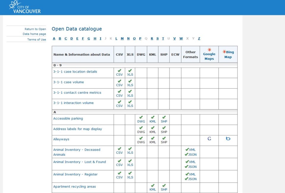
The City of Vancouver, for example, has an open data catalogue, where people can download datasets (often in Excel or CSV format) or KML files with geospatial coordinates. Vancouver has files on bike lanes, disability parking, homeless shelters locations, property polygons and railways, to name a few.
Once the files are downloaded, the possibilities are endless. Huntington said Burnaby has 350 layers of information, but he’s not sure how many will be published online. Langley Township, New Westminster, North Vancouver and Surrey already offer open data services online.


