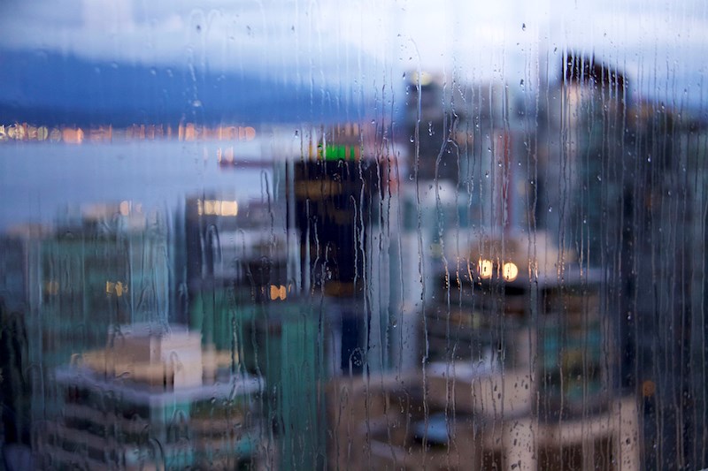
While no devastating downpours like the one Vancouver experienced earlier this week, wet and cold weather remains on the horizon.
Bobby Sekhon, a federal meteorologist with Environment and Climate Change Canada says the threat of subzero temperatures is largely thwarted by cloud cover expected over the next few days. However, some freezing may occur during the nighttime lows on Thursday (Nov. 18) with forecasts calling for temperatures around one degree.
The sun will make a brief appearance on Friday and bring with it a daytime high of seven degrees before the nighttime low of three degrees with mostly clear skies.
From Saturday (Nov. 20) onwards though it’s nothing but rain and clouds. Sekhon explains this is due to the northern edge of a weather system skirting through the Metro Vancouver and Fraser Valley on its way to Oregon and Washington.
"We can expect anywhere from zero to 10 millimetres of precipitation for Metro Vancouver and the Fraser Valley,” Sekhon said. “It's not looking very heavy. But nonetheless, not not not going to be completely dry."
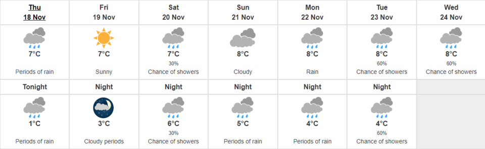
"We do have more precipitation in the forecast for the weekend and early part of next week. We're not expecting there to be any sort of heavy rain event like we saw this past weekend but nonetheless, there could be some showers around,” Sekhon continued.
Temperatures may dip down again next week, though still within a couple of degrees of average for this time of year.
Find out what AccuWeather says locals have to look forward to in the long-term Metro Vancouver winter forecast.


