Mother Nature cranked up the temperature over the weekend, and it appears she has no intention of turning it back down.
Environment Canada has a continued special weather statement in effect for Metro Vancouver, including Burnaby and New Westminster, through this week — with daytime highs reaching into the high 20s to low 30s, and overnight lows in the low to mid-teens.
The day is off to a beautiful start, with the Weather Network currently recording 15 C for Burnaby and 17 C for New Westminster. It's going to climb rapidly from here, achieving a high of 30 C this afternoon in both cities — a high that feels like 33 C.
This evening and into Tuesday, Environment Canada says the South Coast will have a brief break from the heat, as cooler marine air and low cloud pushes in, with daytime highs on Tuesday about five degrees cooler than today (25 C in New West, 26 C in Burnaby).
After that, though, the heat comes back again, so watch for a streak of sunny, hot weather to continue through the week.
As the Weather Network sees it, Burnabyites will see a high of 26 C Wednesday (feels like 30 C), 27 C Thursday (feels like 32 C) and 24 C Friday (feels like 27). In New West, meanwhile, it's calling for a high of 25 C Wednesday (feels like 29), 27 C Thursday (feels like 31 C) and 22 C Friday (feels like 24 C).
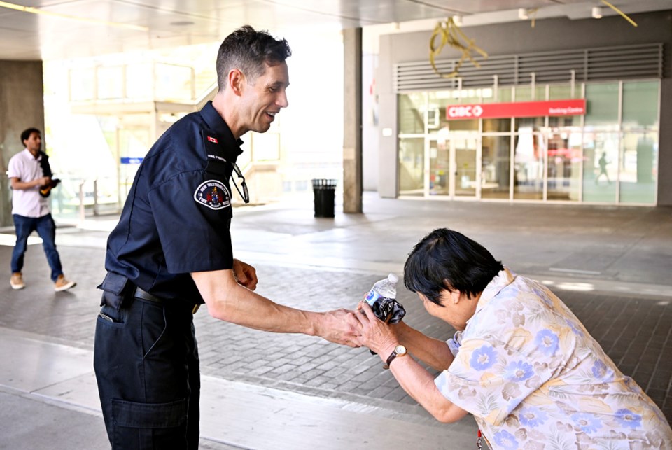
Remember the sunscreen and the water bottle this week — and if you need some help staying cool, check out our list of ways to beat the heat in Burnaby and tips for staying cool in New Westminster.
Follow Julie MacLellan on Twitter @juliemaclellan.
Email Julie, [email protected]


