Rain in the summer isn’t such a bad thing if it reduces the likelihood of fires or the reservoirs drying up.
But this is ridiculous.
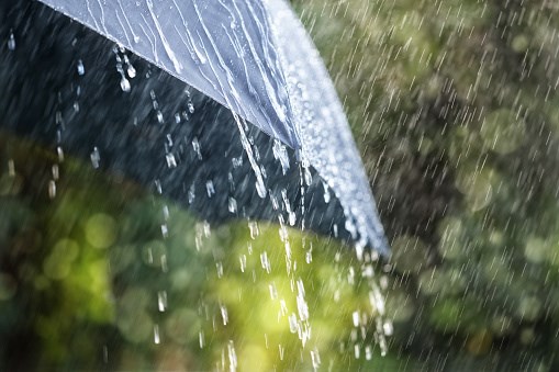
Environment and Climate Change Canada issued a special weather statement at 5 a.m. Thursday with a promise of “heavy rainfall” that will eventually hit Burnaby and the rest of Metro Vancouver.
“An unseasonably strong Pacific frontal system is poised to drench Vancouver Island and parts of the south coast beginning today,” said the statement. “The system will tap into subtropical moisture, which will amplify the front and help to enhance the rainfall.”
Things are kicking off on Vancouver Island this morning, spreading across central Vancouver Island and over the Sunshine Coast later this morning and will become heavy at times this afternoon as the “front intensifies.”
Over Howe Sound, Whistler, and northern sections of Metro Vancouver the main area of rain will arrive later this afternoon and this evening as the front moves southward.
“The continuous rain will end overnight or early Friday morning as the front pushes to the east,” said the statement. “In the wake of the front, there will be showers with a risk of thunderstorms and gusty winds through Friday.”
Quick, grab your beach towels and sunscreen!
The good news is it appears the sun will be out for most or parts of the long weekend.


