ABBOTSFORD, B.C. — Heavy rain and record-breaking warmth in southwestern British Columbia this week brought back some bad memories for Abbotsford dairy farmer Matt Dykshoorn.
The unseasonable warm spell ushered in by a stream of moisture-laden Pacific air has set daily temperature records and accelerated snowmelt, with the Village of Pemberton declaring a state of local emergency Tuesday in response to flooding.
In Abbotsford, east of Vancouver, temperatures spiked past 18 C on Monday, thanks to the weather system known as an atmospheric river.
Dykshoorn, who owns a 60-hectare dairy farm near the Fraser Valley community, said memories of the devastating flooding in 2021 came rushing back as he watched water levels rise during the persistent spell of warm and wet weather.
"It's anxiety-inducing, for sure," said Dykshoorn. "It's one of those things where we're pretty powerless to stop it.
"We can handle three inches of heavy rain when it's 2 degrees outside, because then it's snowing in the hills and it's not coming down. When it's 13 or 15 degrees and raining, then all the snow on the local mountains is also feeding streams."
A series of atmospheric rivers has been deluging B.C.'s South Coast since the weekend, and the warm air has pushed freezing levels above 2,000 metres.
In Pemberton, about 190 kilometres north of Vancouver, residents at six rural properties along Airport Road have been ordered to evacuate due to the flood risk.
B.C.'s River Forecast Centre expanded a flood warning Tuesday to include the Lillooet River,saying a gauge near Pemberton had recorded flows reaching levels seen once every five to 10 years.
Evacuation alerts were also in place for about 20 other properties in the Pemberton Valley Tuesday as waterways swelled with melting snow.
The village said properties at risk included those along the Lillooet, Ryan, Miller, Green and Birkenhead rivers, Pemberton Creek and Lillooet Lake.
A flood warning was also in effect for the Squamish River, where a bulletin said flows had exceeded once-in-five-year levels at a gauge near Brackendale, north of the Squamish town centre.
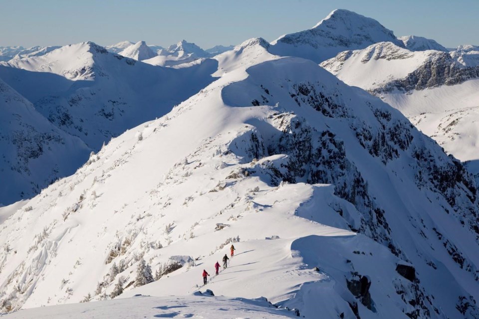
The heavy rains and warm temperatures have also raised the avalanche risk in several popular backcountry areas, although Avalanche Canada downgraded its danger rating for the south Chilcotin and Pacific ranges from "high" to "considerable" later on Tuesday.
Still, the forecaster said the "hazard will remain elevated" in alpine areas until temperatures dip below freezing again.
The risk is also classified as "considerable" throughout southeastern B.C. and along the boundary with Alberta.
Environment Canada meteorologist Armel Castellan said Abbotsford had a record high on Monday at 18.2 C, surpassing the 15.6 C record set on the same day in 1960. He said multiple days of double-digit temperatures make the current warm spell especially dangerous.
"It's the consistency of this warmth that's maybe so impressive," said Castellan, noting Abbotsford had also set a second consecutive daily record high on Tuesday, with temperatures reaching 16 C.
"For this to come with consistent pulses of rain, you can only imagine what this is doing to the snowpack at mid and higher elevations."
Abbotsford was the hottest spot in the country on Monday, and daily high-temperature records were broken in more than 30 other B.C. locations, including some that had stood for almost a century.
Environment Canada said the mild air mass pushed temperatures at Vancouver's airport to 14.3 C on Monday, breaking the previous record of 13.3 C set in 1940.
Records also fell at multiple weather stations in Greater Victoria, where temperatures reached 15.3 C, surpassing a 1931 mark by two degrees.
"This kind of feels like spring," Castellan said. "I mean, people are in essentially T-shirts and shorts. I was able to ride 19 kilometres to work today in Victoria, but with almost nothing on really. It was really strange feeling."
The River Forecast Centre has maintained flood watches for the rest of the South Coast and all of Vancouver Island, while lower-level streamflow advisories are in effect across the Central and North coasts.
A series of "potent" storms had delivered between 80 and 300 millimetres of rain throughout the region since Friday, with the next round expected to stretch into Wednesday, the centre said in a bulletin.
The risk of flooding is expected to persist into Thursday as the final atmospheric river brings further rain and snowmelt, but Castellan said temperature levels should cool off to seasonal levels by week's end.
For Dykshoorn, the weekend forecast provided a degree of relief.
"Well, if I had my way, we'd have a nice, cool winter and leave the snow in the mountains for summer reserves," he said.
"The heavy, warm rains are the last thing we need."
— By Chuck Chiang and Brenna Owen in Vancouver
This report by The Canadian Press was first published Jan. 30, 2024.
The Canadian Press
Note to readers: This is a corrected story. A previous version said British Columbia's highest January temperature was recorded in Bella Coola in 2017.


