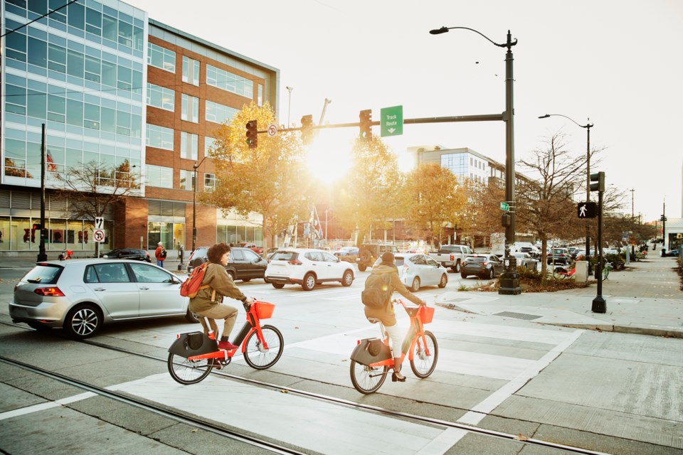
People often think of Vancouver or Victoria when you say "bike-friendly" city.
However, the amount of planning that goes into providing a safe and useful path network for drivers can be agonizingly complex, given the number of metrics involved in bike infrastructure. Complicating matters further is that each city tends to use its own names for many of those metrics, making it difficult for one municipality to lean on another jurisdiction for help in developing its own bike infrastructure.
In the absence of a common database across the province, Simon Fraser University (SFU) researchers in partnership with B.C. Cycling Coalition (BCCC), which helps advocate for and deliver safer cycling across B.C., developed and launched a new interactive mapping tool for bicycle infrastructure in communities across B.C.
The tool was created by SFU’s Cities, Health & Active Transportation Research (CHATR) Lab in order to provide a common database for biking infrastructure standards in communities across the province.
Led by faculty of health sciences professor Meghan Winters, the project was funded by the Public Health Agency of Canada, which acknowledged a lack of a national data set on cycling infrastructure.
Winters said the main purpose of the tool is to allow communities to pinpoint gaps in bicycle infrastructure, using common data standards.
The tool was built using OpenStreetMap, a mapping site which has volunteer maps from all over the world. The tool also categorizes bike infrastructure using Canadian Bikeway Comfort and Safety (Can-BICS) classification, which identifies "high comfort" (cycle tracks, bike paths, and local street bikeways), "medium comfort" (multi-use paths), and "low comfort" (painted bike lanes) areas.
Mike Koski, executive director of BCCC, believes that the tool could benefit a lot of people, particularly those contemplating making the jump to biking, but are holding back due to safety concerns.
"I think this tool really helps to connect those communities and I also think the government ... will be interested in this from a certain point of view," he said.
"They've set a lot of targets for 2030 for clean action," he said. "And we're basically here to help them make that transition. They've got a lot of goals around. reducing vehicle kilometres travelled, to reduce vehicle trips and to have a larger mode shift targets. And if we don't have a safe community, if we don't have a safe place for people to ride and we don't have a trusted place for people to ride there, it's going to be hard to hit those 2030 targets."
Winters said, "I think that the goal when this cycling coalition came forward is that they're trying to help the community groups and community advocates who are out there to be able to make the best choices for their community," she said. "So they wanted a tool that would visualize what was currently available there and help them in their conversations like, what steps do we need to take?"
"This is that information, so that people can make informed decisions about how best to advocate and make the asks that would support people using bicycle more often or more trips in those communities."


